Tin Bigha Corridor and Dahagram
তিনবিঘা করিডোর ও দহগ্রাম
A short strip of Indian land that connects the Dahagram–Angarpota enclave to Bangladesh.
At a glance
- Where
- Lalmonirhat district, Rangpur division
- Best time
- winter (Dec–Jan), spring (Feb–Mar) and late autumn (Oct–Nov)
- Time needed
- About 3 h
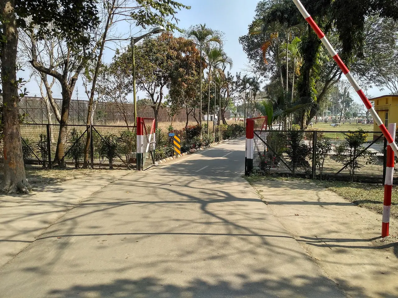
Dahagram and Angarpota form a piece of Bangladesh surrounded by India, linked to the mainland by the Tin Bigha Corridor, a strip of land only a few hundred metres long. For years it opened only at set hours, but since 2011 the corridor has been open around the clock for Bangladeshis. Crossing it and seeing the villages of Dahagram beside the Teesta is a vivid lesson in the region's tangled border history. The surrounding landscape is rural and calm.
How to get there
Take a bus or train to Patgram upazila, then an auto-rickshaw to the corridor.
Good to know
Carry national ID or passport. Photography of border installations may be restricted; follow guards' instructions.
Common questions
Where is Tin Bigha Corridor and Dahagram?
Tin Bigha Corridor and Dahagram is in Lalmonirhat district, Rangpur division, Bangladesh. Lalmonirhat is about 355 km from Dhaka by road.
How do you get to Tin Bigha Corridor and Dahagram?
Take a bus or train to Patgram upazila, then an auto-rickshaw to the corridor.
When is the best time to visit Tin Bigha Corridor and Dahagram?
The best time is winter (Dec–Jan), spring (Feb–Mar) and late autumn (Oct–Nov). Allow about 3 h for the visit.
More from Lalmonirhat
District guide →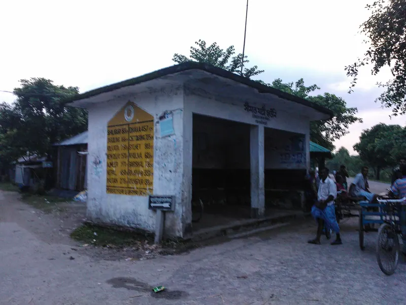 Place
Place Burimari Land Port
বুড়িমারী স্থলবন্দরThe busy northern crossing to India, gateway for travellers heading to Darjeeling and Bhutan.
 Place
Place Kakina Zamindar Bari
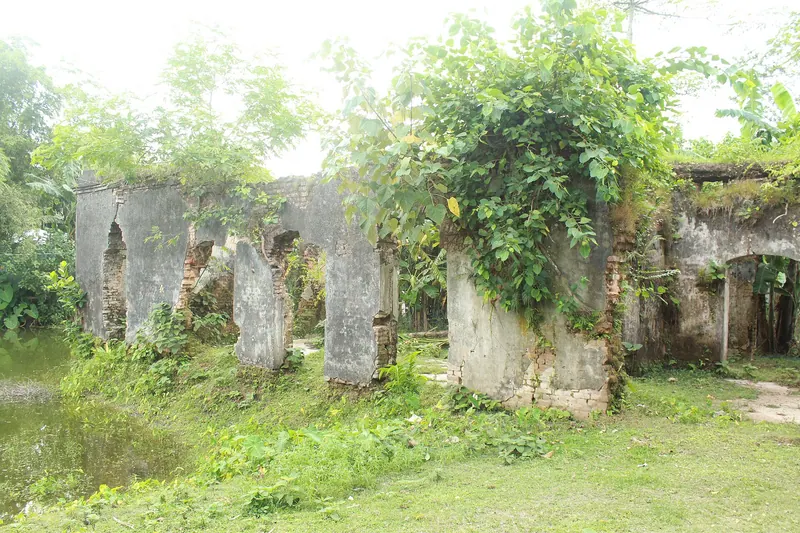
কাকিনা জমিদার বাড়িRemains of an old zamindar estate on the road north to Patgram.
 Hidden place ▶ Video
 Tushbhandar Zamindar Bari
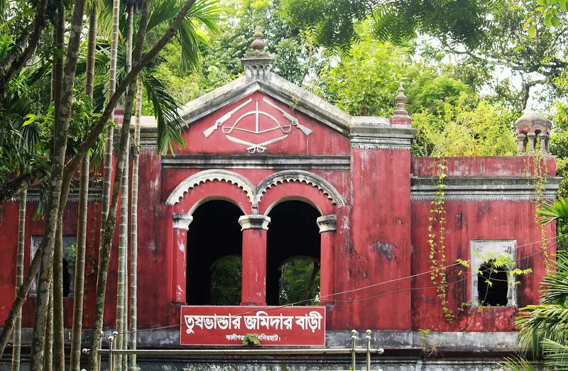
তুষভান্ডার জমিদার বাড়িA faded zamindar house and temples in Kaliganj, rarely visited and full of character.
 Food
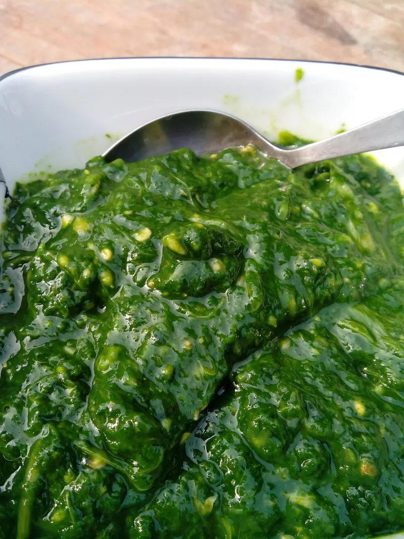
Food Pelka
পেলকাA soft, comforting dish of jute or mustard leaves cooked with a little soda, from greater Rangpur.
Nearby
 Place
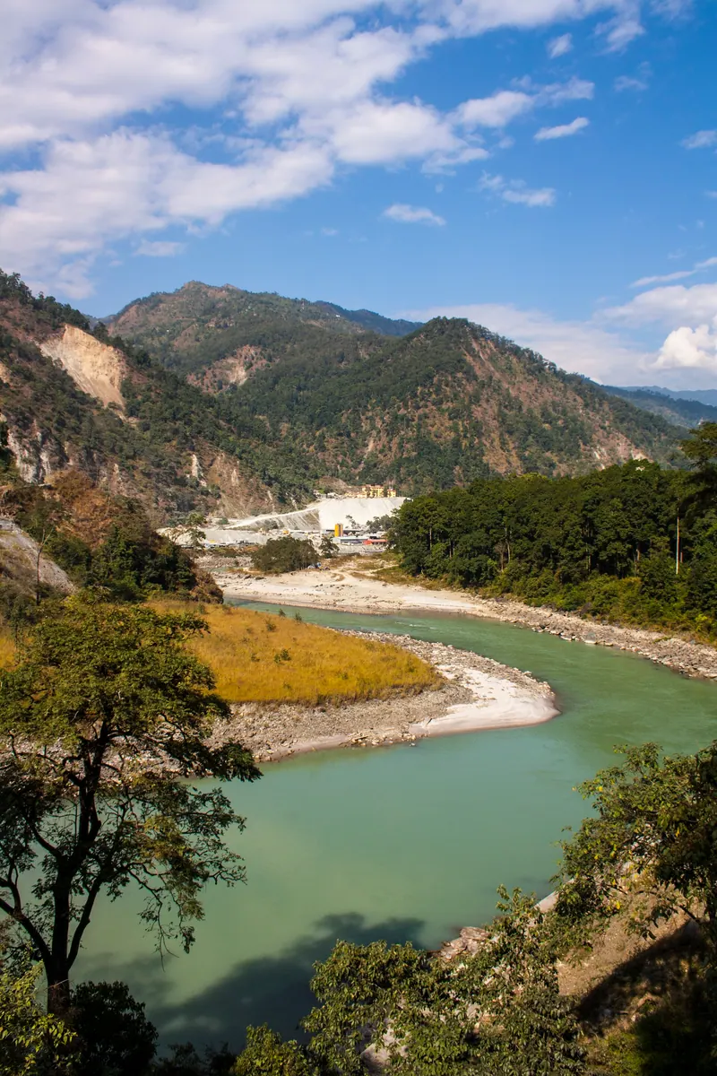
Place Teesta Barrage
Nilphamari · তিস্তা ব্যারেজThe country's largest irrigation barrage, spanning the Teesta between Dalia and Doani.
Place Burimari Land Port
Lalmonirhat · বুড়িমারী স্থলবন্দরThe busy northern crossing to India, gateway for travellers heading to Darjeeling and Bhutan.
 Hidden place ▶ Video
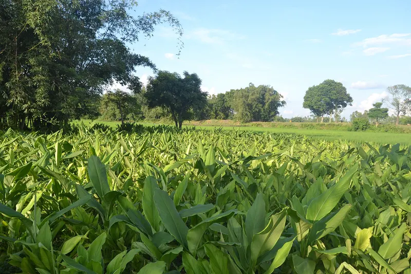
 Dharmapal's Fort (Dharmapaler Garh)
Nilphamari · ধর্মপালের গড়Earthen ramparts of an old fort in Jaldhaka, linked by legend to a king named Dharmapal.
 Hidden place ▶ Video
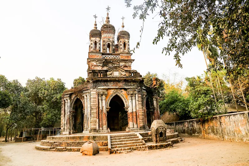
 Golokdham Temple
Panchagarh · গোলকধাম মন্দিরAn 1846 hexagonal temple on a raised platform in a quiet Debiganj village, built with a Greek-style touch.